![[ICO]](/icons/blank.gif) | Name | Last modified | Size | Description |
|---|
|
|---|
![[PARENTDIR]](/icons/back.gif) | Parent Directory | | - | |
![[DIR]](/icons/folder.gif) | 70x70/ | 2020-05-05 14:15 | - | |
| 640x480/ | 2020-05-05 14:15 | - | |
| 438x280/ | 2020-05-05 14:15 | - | |
| 320x240/ | 2020-05-05 14:15 | - | |
| 145x120/ | 2020-05-05 14:15 | - | |
| 135x104/ | 2020-05-05 14:15 | - | |
![[IMG]](/icons/image2.gif) | DWR_subsidence.jpg | 2018-02-15 13:44 | 287K | |
| Item_6b_Attach_3_Delta_Wide_PL_84_99_Compliance_Map-page-001.jpg | 2018-02-15 13:43 | 387K | |
| E71A3C20-4352-411B-B87E-0D0A8AFBD79F.jpg | 2018-02-15 13:40 | 931K | |
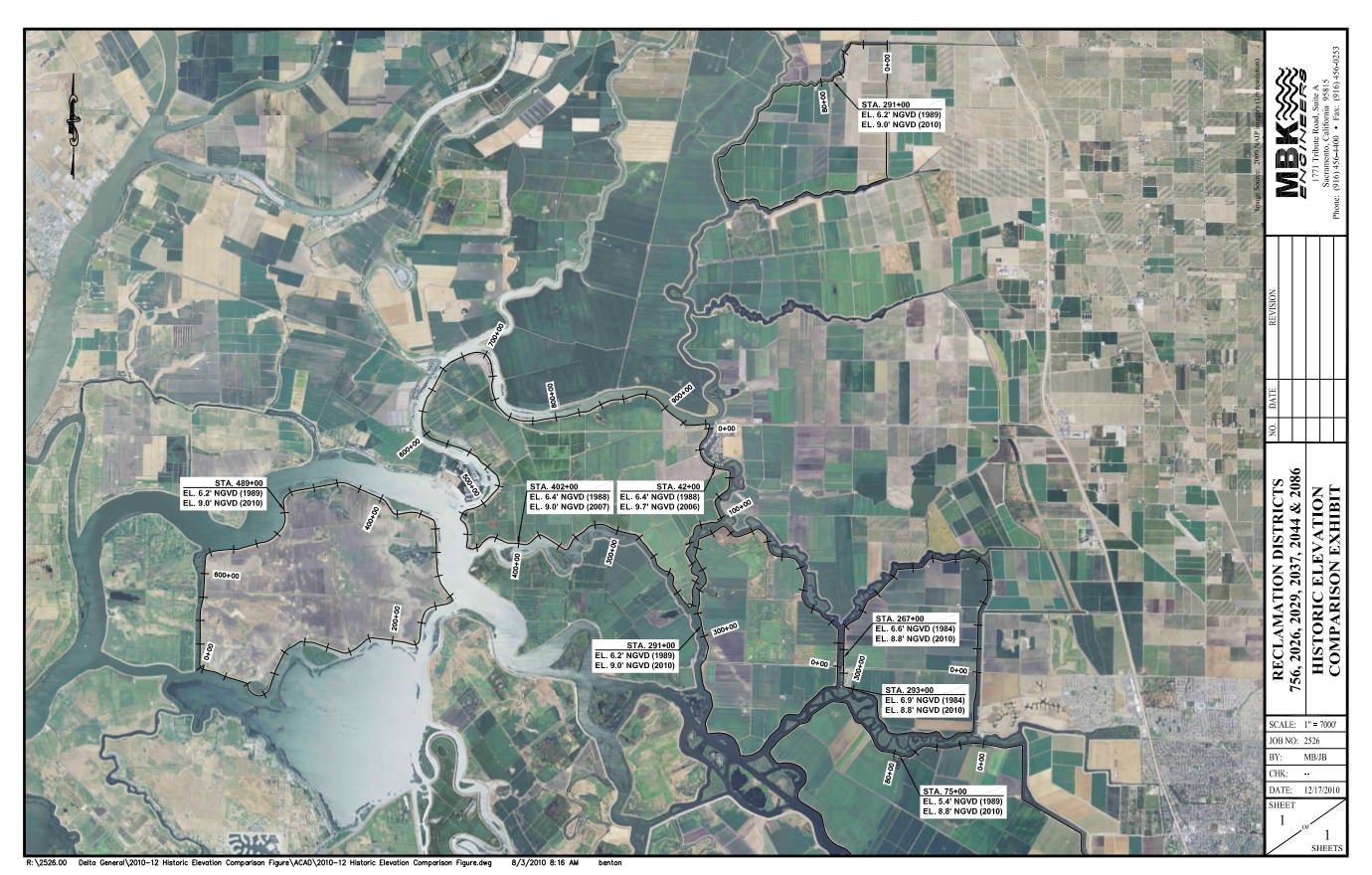
| historic_elevation_comparison_screenshot.jpg | 2017-12-08 08:24 | 265K | |
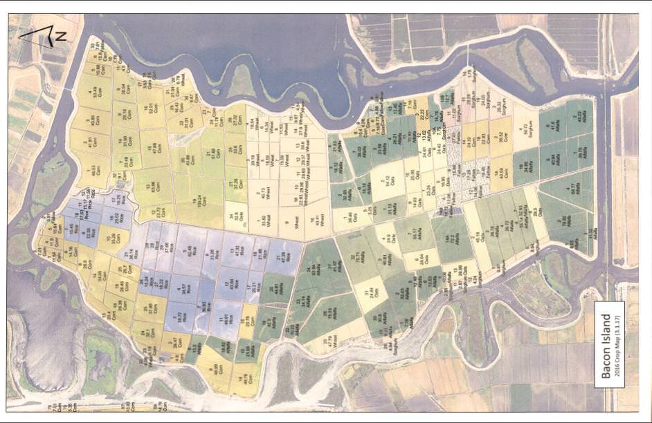
| crop_map_screenshot2.jpg | 2017-12-08 08:10 | 97K | |
|
|---|